Halifax doesn't give you easy ground. The landscape swings from granitic bedrock outcrops on the peninsula to thick glacial till and marine clay in the Sackville corridor, and a refraction line that works perfectly in Clayton Park can run into velocity inversions down by the Northwest Arm. We run seismic tomography here because rippability charts and water-well logs only tell half the story. The till over slate in Fairview often masks a weathered transition zone that conventional SPT refusal misreads as competent rock. Over the years we have learned to pair short-spread refraction with deeper reflection profiles when the overburden exceeds 15 metres, something the MASW surveys cannot always resolve at depth when shear-wave velocity contrast is low. Halifax bedrock is rarely a clean interface, and tomography gives us the two-dimensional picture that vertical borings alone miss.
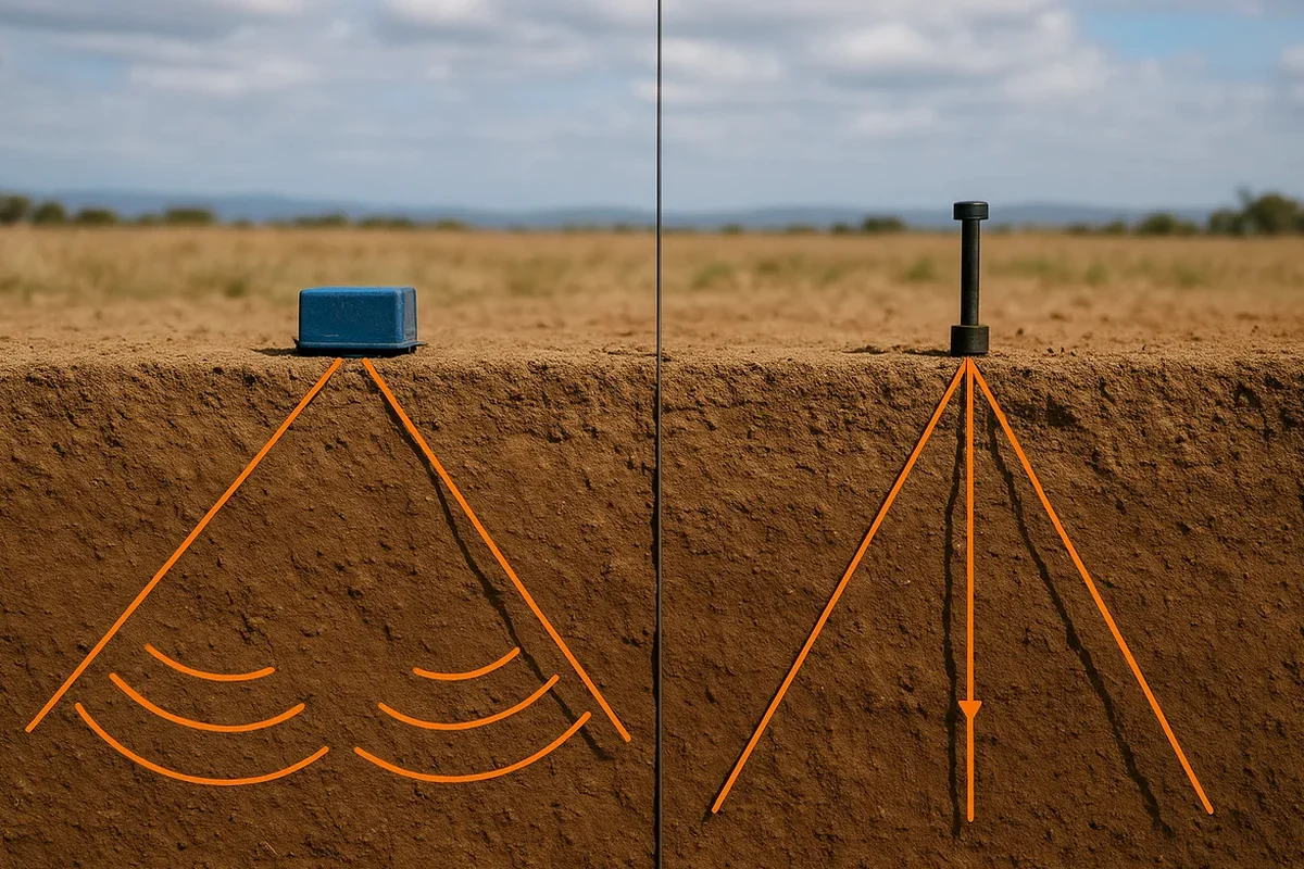
A refraction line without a centre shot can miss the low-velocity layer that controls excavation stability in Halifax till.
Local considerations
The costliest mistake we see in Halifax is assuming refusal at auger depth equals competent bearing. In the pyritic slate zones around Dartmouth and Eastern Passage, a weathered layer up to three metres thick can sit directly above sound rock, and a driller hits it, marks refusal, and walks away. The contractor excavates, finds the rock breaking apart under a hoe ram after half a metre, and suddenly the foundation design needs re-engineering. Refraction tomography run before the excavation phase would have mapped that velocity gradient and flagged the weathered zone. Another common problem is blast estimation: using a generic seismic velocity of 2,500 m/s for till when the saturated basal layer is actually 1,800 m/s leads to underestimating the explosive column and overbreaking the rock face. A single tomography line costs a fraction of a redesign or a blast incident, especially with the CSA A23.3 requirement for site-specific modulus values on Class F3 exposure.
Frequently asked questions
Can seismic tomography tell the difference between weathered slate and sound granite in Halifax?
Yes, and it is one of the most useful distinctions the method makes here. Weathered pyritic slate typically sits between 2,200 and 2,800 m/s P-wave, while competent granite runs above 4,000 m/s. The tomogram shows the transition as a velocity gradient rather than a sharp boundary, which tells the geotechnical engineer how much material needs to be removed before a footing can bear on sound rock.
How much does a seismic refraction or reflection survey cost in the HRM?
For a typical Halifax site with a 69-metre refraction spread and one or two cross-lines, the cost ranges from CA$4,060 to CA$7,460 depending on access conditions, the number of shots, and whether we need to shut down traffic on a city street. Reflection surveys with longer spreads and CMP stacking run at the upper end of that range, especially when we include a borehole tie-in for velocity calibration.
How deep can you see with these methods in Halifax geology?
With a 115-metre refraction spread on level ground, we can typically resolve bedrock down to about 25 to 30 metres depth in till, assuming a reasonable velocity contrast. For deeper targets like tunnel horizon investigations, we use reflection acquisition with a common-midpoint stack that reaches 60 to 80 metres below surface, which covers the depth range of the Harbour Solutions tunnel alignment and most deep-excavation projects.
What surface conditions stop you from getting good data?
Frozen ground in January and February stiffens the upper layer enough to reduce the velocity contrast with bedrock, which degrades the refraction first-arrival pick. We can still work in winter but prefer to wait for thaw or use a heavier source. Asphalt and concrete pavement are actually helpful: they couple energy efficiently and give a clean first arrival, though we need to account for the pavement velocity in the inversion model. The biggest limitation is steep topography near the Citadel and along the harbour bluffs, where we switch to a hybrid refraction/reflection approach or add a topographic correction to the inversion.