← Home · Investigation

Exploratory Test Pit Services in Halifax: Direct Soil Inspection

Together, we solve the challenges of tomorrow.

LEARN MORE →

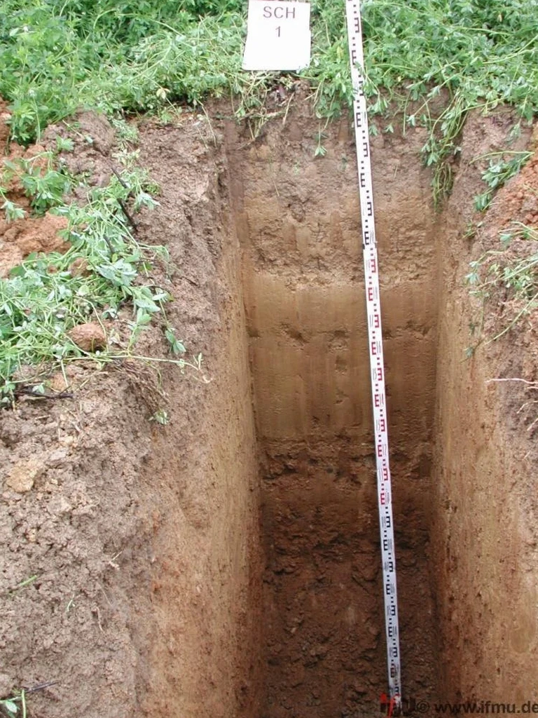
The excavator bucket breaks through the topsoil, and within minutes you can see the stratigraphy. That is the value of an exploratory test pit in Halifax: immediate, visible confirmation of what lies beneath the surface. Our crews mobilize tracked excavators across HRM, from Dartmouth Crossing to Spryfield, cutting trenches through the dense glacial till that blankets much of the Halifax Peninsula. We log the soil profile on-site, collect disturbed and undisturbed samples, and photograph every lift. For projects where bedrock depth is critical, combining a test pit with seismic refraction helps map the till-bedrock interface before excavation begins. Halifax's variable overburden, ranging from less than a meter on the granite barrens to over 10 meters of stony till in the clay belt, makes visual inspection indispensable. We do not guess at ground conditions. We open the ground and look.

You can read a dozen borehole logs and still not understand a site the way you do after 20 minutes in a properly excavated test pit.

Process and scope

Halifax sits at roughly 0 to 70 meters above sea level, draped over Cambrian-Ordovician metasedimentary rocks of the Meguma Group. The 2023 wildfires and subsequent heavy rainfall triggered localized slope failures in HRM that underscored how quickly surficial soils can destabilize. A test pit lets us examine the soil fabric directly: we measure the thickness of the organic layer, note the cobble content in the lodgement till, and check for signs of pyrite oxidation, a known issue in Halifax slate that can swell and heave foundations. Sampling from the pit feeds directly into lab work: grain size analysis quantifies the silty sand matrix around the cobbles, and Atterberg limits on the fines tell us whether the till will behave plastically when wet. The pit also reveals groundwater seepage horizons; we record the depth at which water enters the excavation and whether the inflow stabilizes or increases over time. For subdivisions in Bedford or infill lots on the Peninsula, this level of detail is what separates a straightforward foundation design from an expensive remediation later.
Exploratory Test Pit Services in Halifax: Direct Soil Inspection
Technical reference image — Halifax

Local considerations

The Halifax Formation slate contains pyrite, and when this rock weathers to a clayey silt, it can generate sulfuric acid and expand upon exposure to air and water. The Nova Scotia Department of Public Works issued a technical bulletin on pyritic slate in 2019, and any test pit that encounters grey-black, friable slate requires careful sampling and swelling potential testing. The other risk is groundwater: much of Halifax's development sits on drumlins and till plains where the water table is within 2 meters of grade. An unshored pit in saturated till can collapse. Our crews follow strict slope-back protocols—1.5:1 in dry till, shallower if water is present—and confined-space entry procedures are mandatory for any pit deeper than 1.2 meters. We also watch for buried infrastructure; HRM has a dense network of legacy service lines in older neighborhoods like the North End, and a daylighting approach with the excavator bucket is how we avoid damaging them.

Need a geotechnical assessment?

Reply within 24h.

Email: contact@geotechnicalengineering.vip

Reference parameters

ParameterTypical value
Maximum practical depth4.5 m (standard excavator reach)
Typical pit dimensions2.5 m long x 1.0 m wide x depth as required
Applicable ASTM standardASTM D2488 (visual-manual soil description)
Sample types collectedDisturbed bulk samples, block samples, bag samples
Soil logging methodUnified Soil Classification System (USCS)
Slope stability inspectionIn-situ assessment of sheared seams and slickensides

Other technical services

01

Test pit logging and sampling

On-site USCS classification, Munsell color notation, moisture condition assessment, and collection of bulk or block samples from each distinct stratum.

02

Pyritic slate screening

Visual identification of suspect pyritic horizons during excavation, with sampling protocols aligned to Nova Scotia's 2019 technical guidance on swelling rock.

03

Infiltration and percolation assessment

Recording groundwater inflow rates and soil permeability indicators in the pit for stormwater management design under HRM's Municipal Design Guidelines.

Regulatory framework

ASTM D2488 (visual-manual description of soils for engineering purposes), CSA Z1006 (management of work in confined spaces), Nova Scotia Occupational Health and Safety Act (trench safety provisions)

Common questions

How much does an exploratory test pit cost in Halifax?
How deep can a test pit go in Halifax's glacial till?

A 20-tonne excavator typically reaches 4.5 meters in competent till. If the till is saturated, we bench the pit at roughly 2.5 meters depth and continue in lifts. Bedrock often limits depth on the Halifax Peninsula, where till cover is thin.

What does a test pit tell me that a borehole doesn't?

A test pit exposes a continuous face of soil, so you see cobble orientation, fissuring, color mottling, and thin sand seams that a split-spoon sample can miss. It also lets you collect undisturbed block samples for shear strength testing in cohesive tills.

Location and service area

We serve projects across Halifax and surrounding areas.

View larger map